
Shenandoah National Park, Virginia
How to hike Old Rag Mountain
Tickets, parking, every route up, and the rock scramble, from the people who own the 1865 homestead at the bottom of the mountain.
On this page
Old Rag is the best hike in Shenandoah National Park. I’ll argue that with anyone. It’s a 3,291-foot granite dome with a mile-long rock scramble on the way up and a view in every direction from the top.
It’s also the most regulated hike in the park. From March through November you need a ticket bought in advance. The main parking lot has been closed for construction since May. And the scramble surprises people who show up unprepared.
We own an 1865 homestead at the bottom of the mountain, a short walk from the Berry Hollow trailhead. This is what I tell our guests, and the facts on it get checked against the Park Service every week.
Old Rag right now
Monday, November 16- Day-use ticket
- Ticket required
$2 per person on Recreation.gov through November 30. From December 1 to the end of February, no ticket is needed.
- Parking
- Main lot closed
The Nethers Road main lot has been closed for construction since May 4, with work running into December. Lot 2 and the grassy overflow lot stay open.
- Daylight on the summit
- Sunset 5:01 p.m.
Sunrise 6:57 a.m. The latest start that gets you around the full circuit (7½ hours by NPS time) before dark: 9:31 a.m.
- Park entrance
- $30 per car
Shenandoah’s entrance pass, good for 7 days ($15 a person on foot or bike, $25 by motorcycle). Buy it on Recreation.gov or pay by card at Old Rag or White Oak Canyon.
Forecast for Old Rag
National Weather Service forecast for the summit area. Full forecast.
 Skip the 6 a.m. drive 5+ private acres bordering Shenandoah National Park. Walk to Old Rag and White Oak Canyon. The whole property is yours. See Birch's Library
Two trailheads, one summit
The Ridge Trail and its scramble start from the Nethers lots on the east side. The Saddle Trail starts from Berry Hollow on the west, where our cabin is. Over the top they’re about three miles apart; by road it’s the long way around. Tap a marker for directions.
The map loads as you scroll to it. The GPS for both trailheads is in Getting to the trailheads.
- Trailhead parking
- Summit, 3,291 ft
- Our cabin
- By road to Nethers, 26 min
- National park
Old Rag at a glance
- Full circuit
- 9.4 miles, 2,348 ft of climbing. NPS rating: Very Strenuous. Plan 5.5–7.5 hours.
- No-scramble route
- Berry Hollow via the Saddle Trail. 5.4 miles round trip, 1,760 ft. NPS rating: Strenuous. Plan 6–7 hours.
- Summit
- 3,291 ft (1,003 m) of bare Old Rag Granite. You can see in every direction.
- Ticket
- $2 per person, required March 1 – November 30, plus a park entrance pass.
- Parking
- Main lot closed for construction. Lot 2 and the overflow lot on Nethers Road are open.
- Entrance pass
- $30 per car for 7 days, on top of the ticket. Pay by card at Old Rag or White Oak Canyon, or buy it on Recreation.gov.
- Dogs
- Not permitted on any Old Rag summit trail.
- Cell service
- None. Download maps before you arrive.

Do I need a ticket for Old Rag?
From March 1 through November 30, yes. Anyone on the Ridge, Saddle or Ridge Access trails needs an Old Rag day-use ticket on top of a park entrance pass. It’s $2 a person on Recreation.gov and it isn’t a lottery. It does sell out on nice weekends, so the release schedule matters.
- 800 tickets a day in total.
- 400 go on sale 30 days ahead of your hike date, at 10:00 a.m. Eastern.
- The other 400 go on sale 5 days ahead, at 10:00 a.m. Eastern.
Missed both? Cancellations come back at random, so check again the night before and that morning. Print the ticket or screenshot it. There’s no cell service at the trailhead to pull it up, and rangers check at the Ridge Trail junction. The full ticket guide, including what to do when your date sells out.
Old Rag parking right now
The main Old Rag lot near Nethers has been closed for construction since May 4, 2026. Recreation.gov says the main work runs through November, with some lasting into December. If a guide sends you to the big lot at the end of Nethers Road, it’s out of date.
For now you park in Lot 2 or the grassy overflow lot on Nethers Road and walk the road shoulder to the trailhead. Give yourself an extra 10 to 20 minutes each way, depending on where you end up. On nice Saturdays in spring and fall the overflow fills before mid-morning. Driving out from D.C. that morning is a gamble. People who slept nearby don’t have this problem.
The other trailhead is Berry Hollow, on the west side, reached from Syria. It’s a small gravel lot at the end of Route 600 where the no-scramble Saddle Trail route starts. It holds a handful of cars and fills very early on weekends. It’s the one by our place, and I post its status on Instagram on busy mornings.
Weekdays are a different mountain. Monday through Thursday the parking pressure drops way off, and so does most of what makes Old Rag a hassle.
Getting to the trailheads
Both trailheads are on country roads along the park’s eastern edge. Neither is on Skyline Drive. Don’t type just “Old Rag” into your phone. The Park Service says that has sent people to the wrong place. Use the coordinates below, or search “Old Rag Parking (Ranger Station)” on Android and “Old Rag Parking - Lower Lot” on iPhone. Set it before you leave home, because there’s no cell signal out here to fix a wrong turn.
| Trailhead | For | GPS |
|---|---|---|
| Nethers (Lot 2 and overflow, Nethers Road) | The circuit and the Ridge Trail scramble | 38.57028, -78.28645 |
| Berry Hollow (Syria side) | The Saddle Trail, no scramble | 38.54885, -78.33885 |
The Park Service’s directions:
- Sperryville to Nethers: Route 522 south 0.8 mile, right on Route 231 for 8 miles, right on Route 601, then follow the signs about 3 miles.
- Madison to Nethers: Route 231 for 12.8 miles, left on Route 602, then follow the signs about 3 miles.
- Madison to Berry Hollow: Route 231 north, left on Route 670, right on Route 643, then straight onto Weakley Hollow Road, past the White Oak Canyon lot to the end.
The two trailheads are about three miles apart over the top of the mountain and 27 min, 14 mi apart by road, around the south end. Pick your route first, then your trailhead.
| From | To Nethers | To Berry Hollow |
|---|---|---|
| Madison | 21 min, 16.3 mi | 22 min, 14.7 mi |
| Sperryville | 15 min, 11.7 mi | 29 min, 19.4 mi |
| Washington | 22 min, 17.6 mi | 36 min, 25.3 mi |
| Luray | 40 min, 28.3 mi | 53 min, 36 mi |
| Charlottesville | 55 min, 44.9 mi | 56 min, 43.3 mi |
| Front Royal | 43 min, 35.8 mi | 57 min, 43.5 mi |
Drive times are free-flow estimates by road from HikeShenandoah.com’s routing on OpenStreetMap roads. Narrow and gravel roads run slower. From HikeShenandoah.com.
The entrance pass is separate from the ticket. Shenandoah charges $30 a car, good for 7 days, $25 a motorcycle, or $15 a person on foot or bike. Kids under 16 are free, and the $55 Shenandoah annual pass or an America the Beautiful pass covers it. The entrance stations at Old Rag and White Oak Canyon take cards only, or you can buy the pass ahead on Recreation.gov. The Park Service’s fee-free days for 2026 are over, and it hasn’t posted 2027’s yet.
The Park Service lists vault toilets at Old Rag. Bring all the water you’ll need.
Which route should I hike?
The classic circuit Most popular
- 9.4 mi
- 2,348 ft
- Very strenuous
- 5.5–7.5 hrs
Start on the Nethers side and climb the blue-blazed Ridge Trail through switchbacks in the woods. Then comes about 1.1 miles of granite to the summit. Come down the Saddle Trail past the Byrds Nest and Old Rag shelters and walk out on the Weakley Hollow Fire Road.
Go counterclockwise, exactly like that. Scrambling up is a lot easier and safer than climbing down, and it’s the way everyone else is going, so you won’t be fighting traffic in the squeezes.
Berry Hollow: the summit without the scramble Best in winter
- 5.4 mi round trip
- 1,760 ft
- Strenuous
- 6–7 hrs (NPS)
Start at the Berry Hollow lot on the quiet west side. Take the fire road to the Saddle Trail, go past the Old Rag Shelter to the summit, and come back the same way. Same summit, same view, no scrambling. It’s the right call for kids, for anyone who doesn’t like exposure, for bad knees, and for short winter days.
It’s also the closest trailhead to our cabin. You can walk there.
The full circuit from Berry Hollow Measured
- 9.2 mi
- 2,550 ft
- Very strenuous
- About 7 h 40 m
Same loop, same direction, started from the Syria side. Walk up the fire road from Berry Hollow, then down the Weakley Hollow Fire Road almost to Nethers. The Ridge Access Trail puts you on the Ridge Trail and the scramble, and from the summit the Saddle Trail brings you back down to the lot.
The Park Service only publishes the circuit from Nethers, so HikeShenandoah.com measured these numbers along the NPS trail lines. Leave extra daylight. Parking at Berry Hollow is extremely limited; if you’re staying with us, you walk to the start and skip that problem.
Ridge Trail out-and-back: the scramble twice
- Shorter, harder
- Strong hikers only
For strong hikers who want as much granite as they can get: up the Ridge Trail and back down it. It’s shorter than the circuit and harder. Climbing down the scramble is slow and awkward, and it’s miserable on wet rock. Skip it on crowded days, when you’ll be the one salmon swimming upstream.
The rock scramble
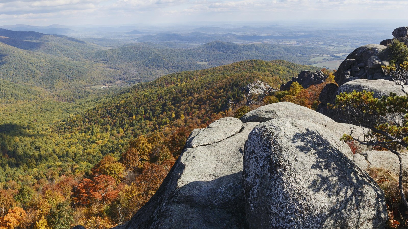
The scramble is why Old Rag is famous. It’s about 1.1 miles of hands-and-feet travel over, between and sometimes under granite boulders. You don’t need ropes or climbing experience. You need both hands free, shoes that grip, and a little nerve.
There are squeezes, slots narrow enough that big packs get pushed through ahead of their owners, so travel light. Early on you climb down into a narrow crevice and walk along its floor, which catches people who figured the whole thing went up. There’s the chute, a smooth, low-angle wall with a crack for your feet. On busy days there’s a line there; watch the person ahead of you and do what they did.
Then the false summits. The first open ledge with a view isn’t the top. Neither is the second. Keep following the blue blazes painted on the rock.
Fit first-timers do this every day and love it. The ones who struggle are in worn-smooth sneakers, carrying a huge pack, climbing wet rock, or arriving at the bottleneck at 11 a.m. behind two hundred other people. Fix those four things and it’s the best hour of hiking in Virginia.

Old Rag in winter
December through February is the quiet season, and a lot of us think it’s the best one. No ticket, a fraction of the crowd, bare trees that open up the views well before the summit, and parking stops being a problem. In return it asks a few things of you.
Watch the daylight. The sun sets around 5 p.m. in December. The board at the top of this page works out today’s sunset and the latest start that still gets you around the circuit before dark. Carry a headlamp anyway.
Expect ice. The scramble holds it in the shady slots long after the trailhead looks dry. Bring traction, and if the granite is icy or wet, hike Berry Hollow and the Saddle Trail instead of the Ridge.
Dress for the top, not the parking lot. The summit routinely runs 10 to 15°F colder and windier than the trailhead. Pack the layer you think you won’t need.
Wear something bright. Hunting isn’t allowed inside the park, but the land around it is private, and Virginia’s general firearms deer season runs November 14, 2026 to January 2, 2027. That matters near the boundary and on the valley roads.
Skyline Drive closes in bad winter weather, but that doesn’t cut off Old Rag, because its trailheads are on the valley roads below the park. Those roads can ice over, so check them and the NPS conditions page before you go.
When to start
On spring and fall weekends, be walking by 7:00 a.m. Parking and the scramble bottleneck both go bad by mid-morning.
In summer, start early to beat the heat, since most of the circuit’s climb is exposed, and get off the summit before the afternoon thunderstorms build. Bare granite is the last place you want to be in lightning.
In winter the days are short, so start early, and know that the Berry Hollow route fits the daylight better. No ticket needed.
Sunrise from the summit is worth the alarm. It’s only practical if you sleep at the bottom of the mountain, since it’s a climb of more than two hours in the dark from Nethers. That’s a big part of why we bought a homestead down here.
What to bring, and what to leave
- Water, 2 to 3 liters a person. There’s none on the mountain, and running short is the most common mistake I see in summer.
- Closed-toe shoes with real tread. Trail runners or hiking shoes, not smooth-soled sneakers and not sandals.
- A small pack. It has to fit through the squeezes with you.
- Offline maps, downloaded at home. There’s no cell service in this valley, none at the trailhead and barely any on the summit. Tell someone your plan before you leave pavement.
- Layers. The summit routinely runs 10 to 15°F colder and windier than the trailhead.
- A headlamp, even for a day hike. The circuit takes longer than people expect.
- Traction devices from December to March, when the scramble and the shady fire road ice up.
Can I hike Old Rag with my dog?
No. Dogs are prohibited on every Old Rag summit trail: the Ridge, Saddle and Ridge Access trails, plus the stretch from Post Office Junction to the Old Rag Shelter. It’s one of the few dog-free trails in Shenandoah, the rule is firm, and the scramble would be dangerous for them anyway.
Two of the best dog-friendly hikes in the park are minutes away, though. White Oak Canyon, with its six waterfalls, and Cedar Run take leashed dogs, need no day-use ticket and start from the same valley. Our cabin takes dogs and sits steps from the White Oak Canyon connector, so plenty of guests do Old Rag one day and walk the dog to the waterfalls the next.
Safety notes from the neighborhood
- Old Rag has more rescues than anywhere else in the park, mostly ankles and knees on the way down, mostly late in the day. Save something for the descent.
- Storms build fast on summer afternoons. If you hear thunder while you’re on open granite, get off the rock.
- Black bears live in this valley and cross our property regularly. They want nothing to do with you. Make noise, keep your food packed, and never feed them.
- Ticks are serious here from spring through fall. Treat your clothes and do a full check afterward.
- There’s no cell coverage, so you’re on your own out there. Map, water, layers, headlamp, and someone at home who knows your route.
- The nearest hospital is UVA Health Culpeper Medical Center, with a 24-hour emergency room, about 40 minutes away. Learn the name before you need it. Other local logistics.
Questions people ask me
How long is the Old Rag hike, and how long does it take?
The classic circuit is 9.4 miles with 2,348 feet of climbing; plan 5.5–7.5 hours (the NPS says 7½, and fit parties go faster). The no-scramble route from Berry Hollow is 5.4 miles round trip, and the NPS plans 6–7 hours for it. Add a buffer for scramble traffic on weekends.
How much does it cost to hike Old Rag?
From March 1 through November 30, a $2 day-use ticket per person from Recreation.gov, plus a Shenandoah entrance pass: $30 per car for 7 days, $15 a person on foot or bike, or the $55 annual pass. December through February, only the entrance pass.
Where do you park for Old Rag?
For the Ridge Trail and the classic circuit, Lot 2 and the overflow lots on Nethers Road; the main lot is closed for construction. For the Saddle Trail route, the small Berry Hollow lot on the Syria side. Parking is free, roadside parking isn’t allowed, and a ticket doesn’t hold you a space. Old Rag parking guide.
What do I type into my GPS for Old Rag?
Not just “Old Rag”: the Park Service says that has sent people to the wrong place. It suggests “Old Rag Parking (Ranger Station)” on Android and “Old Rag Parking - Lower Lot” on iPhone. Set it before you leave home, because there’s no cell service near the mountain. The coordinates for both trailheads are in the Getting there section above.
Is Old Rag too hard for me?
If you can hike 9 miles with 2,300 feet of climbing, you can do the circuit; the scramble is about nerve and patience more than strength. If the mileage or the exposure worries you, take Berry Hollow. The Park Service rates it strenuous, but it’s an ordinary trail with no scramble, and the summit is identical.
Can kids hike Old Rag?
Confident kids roughly 8 and up who already hike do great on the scramble, often better than their parents. For younger children, use the Berry Hollow route.
What if tickets are sold out for my date?
Try again at 10 a.m. Eastern five days out (the second release), watch for cancellations, come midweek, or come December–February when no ticket is needed. More sold-out options.
Do I need a ticket for Old Rag in winter?
No. The day-use ticket is required March 1 through November 30 only. From December through February you need just a Shenandoah National Park entrance pass.
Do I still need a park pass in winter?
Yes. Entrance fees apply year-round. Only the $2 day-use ticket pauses December–February.
Does a Skyline Drive closure stop me hiking Old Rag?
No. Old Rag’s trailheads are on the valley roads east of the park (Nethers Road and Route 600), not on Skyline Drive, so the drive closing in bad weather doesn’t cut off the mountain. The roads in can still be icy.
Where’s the nearest food after the hike?
Graves Mountain in Syria is closest, with a Market Deli that opens at 7 a.m. for trail sandwiches. In Madison, Pig ’N Steak is the local barbecue place and Los Brothers does Latin American. DuCard Vineyards pours wine within sight of the mountain, and up in Sperryville The Black Twig is the sit-down dinner. Full local guide.
Keep planning
-
 Old Rag parking Where to park with the main lot closed, and when the overflow fills.
- Old Rag tickets $2, 800 a day, two release waves, and the winter no-ticket season.
-
 White Oak Canyon No ticket, dogs welcome, six waterfalls.
-
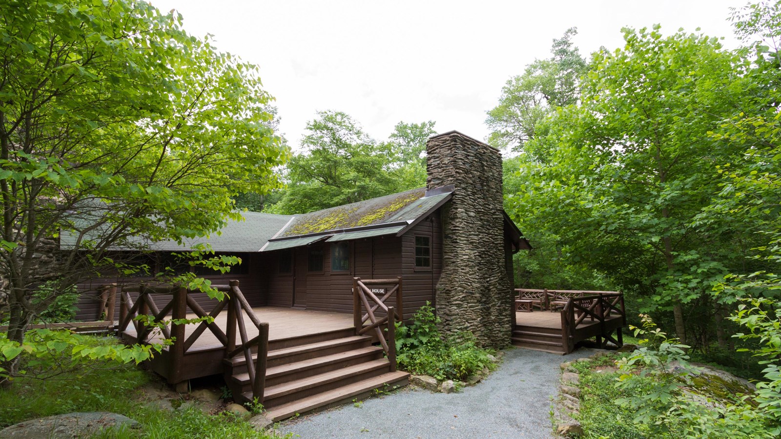 Rapidan Camp Every route to Hoover’s retreat.
-
 Hikes near Old Rag Plan B when tickets sell out, with dogs and drive times.
-
 Where to stay near Old Rag Which side of the mountain, which town, real drive times.
-
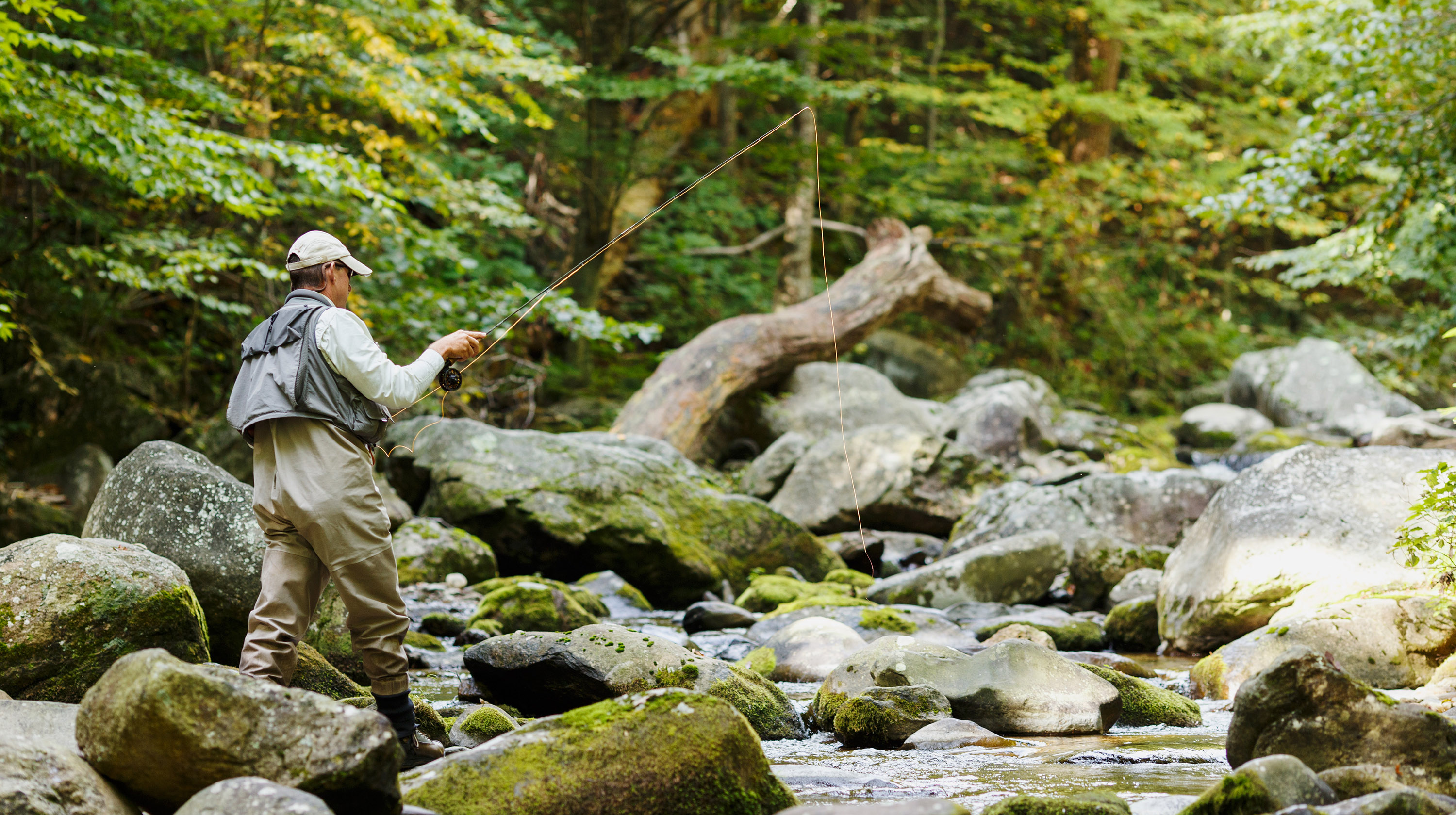 Fly fishing Native brook trout in the Rapidan.
-
 Things to do Graves Mountain, DuCard, Sperryville and the rest of the valley.

Sleep at the trailhead
Wake up at Old Rag. Walk to the trail.
Birch’s Library is our 1865 homestead cabin on more than five private acres that border the park. It’s the closest cabin to the Berry Hollow trailhead and steps from White Oak Canyon. Skip the parking fight, catch sunrise on the summit, and put your feet in the creek when you get back. Book direct and you skip the platform fees too.
- 5.0 stars from 35 Airbnb reviews
- Airbnb Guest Favorite
- 10/10 on Vrbo
- Dogs welcome

@hikeoldrag on Instagram
Life at the foot of Old Rag
Trail conditions, parking reports on busy mornings, waterfall levels and cabin life at the 1865 homestead, posted from the base of the mountain.
Follow @hikeoldrag